Friends of the Boston Harbor Islands
  • Home
  • Membership
    • Membership Benefits-Partners >
      • Travel Discounts
      • Black Rock Sailing School
      • Boat US
    • Purchase Membership
    • Newsletter - Tidings
  • Island Info
    • Island Information - Alphabetical Apple-Grape >
      • Apple Island
      • Bumpkin Island
      • Button Island
      • Calf Island
      • Castle Island
      • Cathleen Stone Island
      • Deer Island
      • Gallops Island
      • Georges Island - Ft Warren
      • Graves, the
      • Grape Island
    • Island Information - Alphabetical Great Brewster - Nantucket LS >
      • Great Brewster Island
      • Green Island
      • Governors Island
      • Hangman Island
      • Langly Island
      • Little Brewster Island
      • Little Calf Island
      • Long Island
      • Lovells Island
      • Middle Brewster
      • Nantucket Light Ship
    • Island Information - Alphabetical - Moon - Rainsford >
      • Moon Island
      • Nixes Mate
      • Noddle Island
      • Nut Island
      • Outer Brewster
      • Peddocks Island
      • Raccoon
      • Ragged Island
      • Rainsford Island
    • Island Information - Alphabetical - Sarah - Thompson >
      • Sarah Island
      • Slate Island
      • Sheep Island
      • Snake Island
      • Spectacle Island
      • Hog/Spinnaker Island
      • Thompson Island now Cathleen Stone Island
  • About us
    • FBHI Board Members
    • FBHI Timeline
    • FBHI Past Events
    • Awards
    • Library Legacy Project
    • Mass Memories
  • Shop
  • Boating Info
  • Videos

lovells Island

Picture
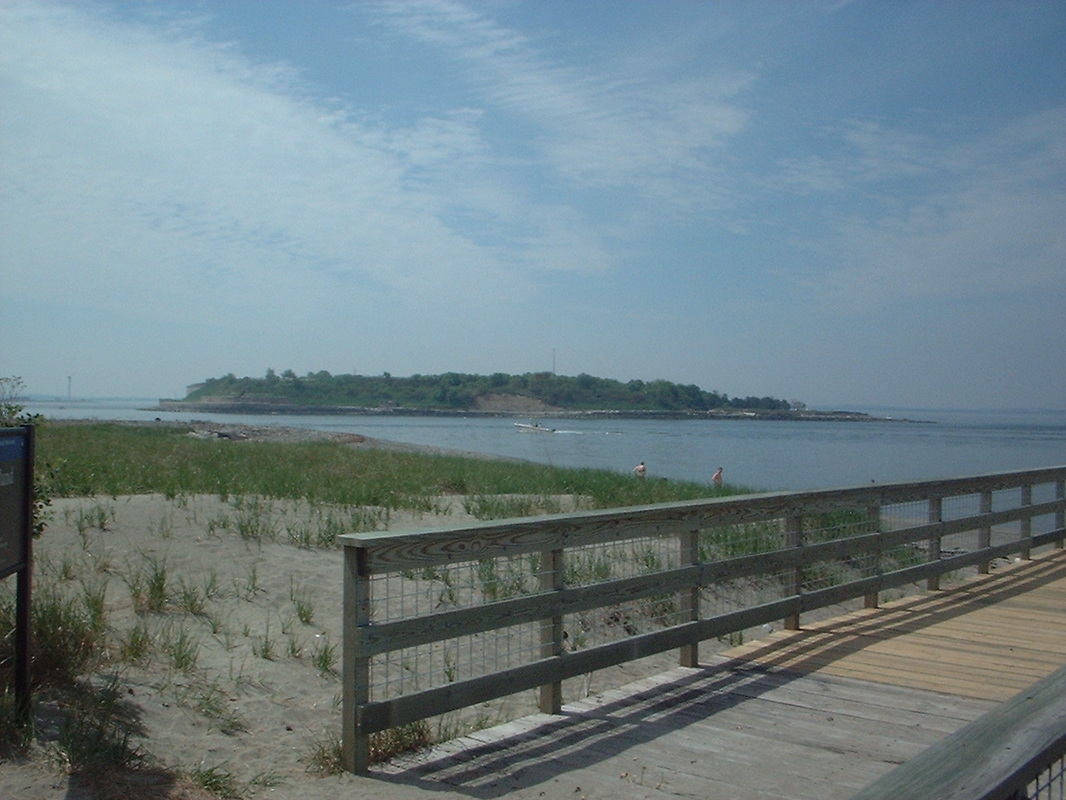
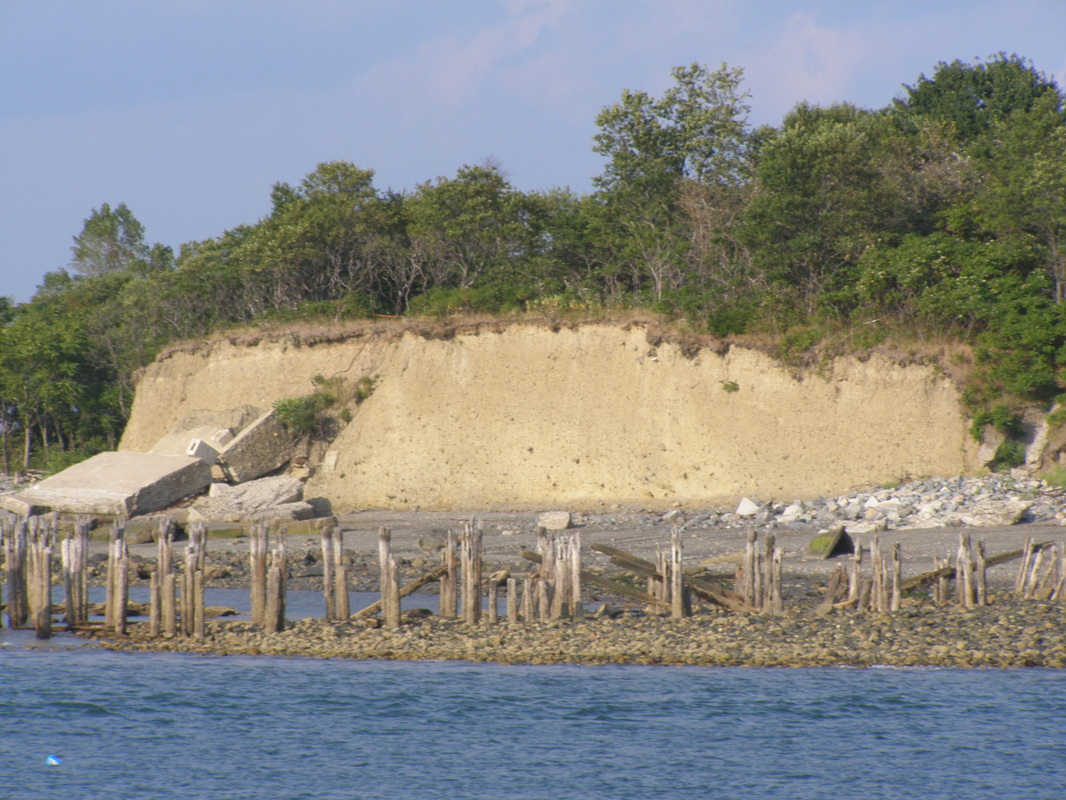
62-acre Lovells Island has trails that pass by dunes and woods, picnic areas, an unsupervised swimming beach, and the remains of Fort Standish. Low tide exposes an additional 71 acres, for a total size of 120 acres. The island was seasonally occupied by Native Americans. During the colonial period, the island was granted to Charlestown for timber harvesting and fishing, with half of the timber reserved for the fort on Castle Island. With its location along the first shipping channel into Boston, it briefly served as a quarantine station in the 1600s and was the nearest island to many shipwrecks. The country's first "hut of refuge" was constructed on the island by the Massachusetts Humane Society. In 1902 it was decided to construct two navigational range lights to assist mariners using the South Channel. In 1919, Charles Jennings, previously at Boston Light, became keeper at Lovells' range lights. The range light towers were torn down in the late 1930's when Army Fort Standish was expanded. Today all that remains is the oil house. The topography of the island was altered first by the construction of a granite seawall in the mid 1880s and second by military installations in the late 1800s. The island was acquired for military use in 1825 and garrisoned during the Civil War, WWI and WWII then declared surplus property. The state acquired the island in 1958. (from the NPS)

Dozens of photos have been added below from the FBHI Sunset Adventure Trip in August 2012.

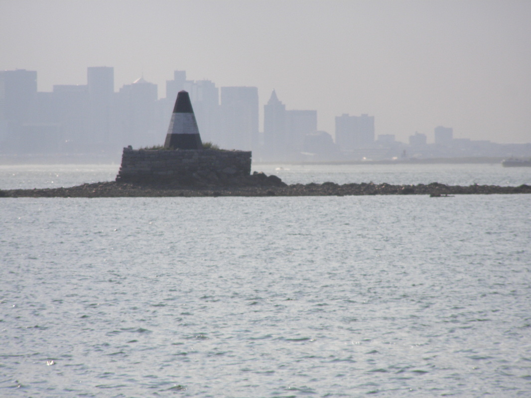
Lovells Island Range Lights
Wikipedia - Lovells Island
​

August 2012 Sunset Adventure Trip

Photos by Walter Hope (c) 2012

lovells_island_map_ww2.pdf
File Size: 268 kb
File Type: pdf
Download File

lovells_island-onisland.docx
File Size: 718 kb
File Type: docx
Download File

​​FBHI on Facebook
​Web Hosting by FatCow
30 Shipyard Drive, Hingham, MA 02043 
781-740-4290 • info@fbhi.org
  • Home
  • Membership
    • Membership Benefits-Partners >
      • Travel Discounts
      • Black Rock Sailing School
      • Boat US
    • Purchase Membership
    • Newsletter - Tidings
  • Island Info
    • Island Information - Alphabetical Apple-Grape >
      • Apple Island
      • Bumpkin Island
      • Button Island
      • Calf Island
      • Castle Island
      • Cathleen Stone Island
      • Deer Island
      • Gallops Island
      • Georges Island - Ft Warren
      • Graves, the
      • Grape Island
    • Island Information - Alphabetical Great Brewster - Nantucket LS >
      • Great Brewster Island
      • Green Island
      • Governors Island
      • Hangman Island
      • Langly Island
      • Little Brewster Island
      • Little Calf Island
      • Long Island
      • Lovells Island
      • Middle Brewster
      • Nantucket Light Ship
    • Island Information - Alphabetical - Moon - Rainsford >
      • Moon Island
      • Nixes Mate
      • Noddle Island
      • Nut Island
      • Outer Brewster
      • Peddocks Island
      • Raccoon
      • Ragged Island
      • Rainsford Island
    • Island Information - Alphabetical - Sarah - Thompson >
      • Sarah Island
      • Slate Island
      • Sheep Island
      • Snake Island
      • Spectacle Island
      • Hog/Spinnaker Island
      • Thompson Island now Cathleen Stone Island
  • About us
    • FBHI Board Members
    • FBHI Timeline
    • FBHI Past Events
    • Awards
    • Library Legacy Project
    • Mass Memories
  • Shop
  • Boating Info
  • Videos